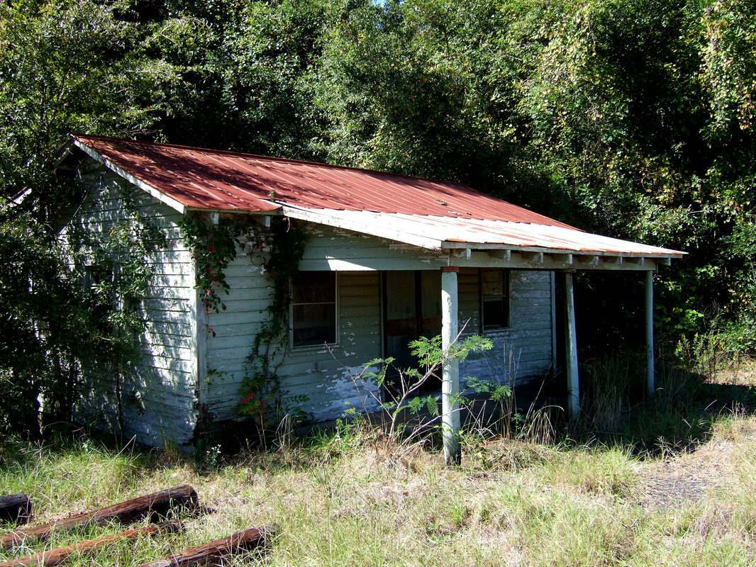
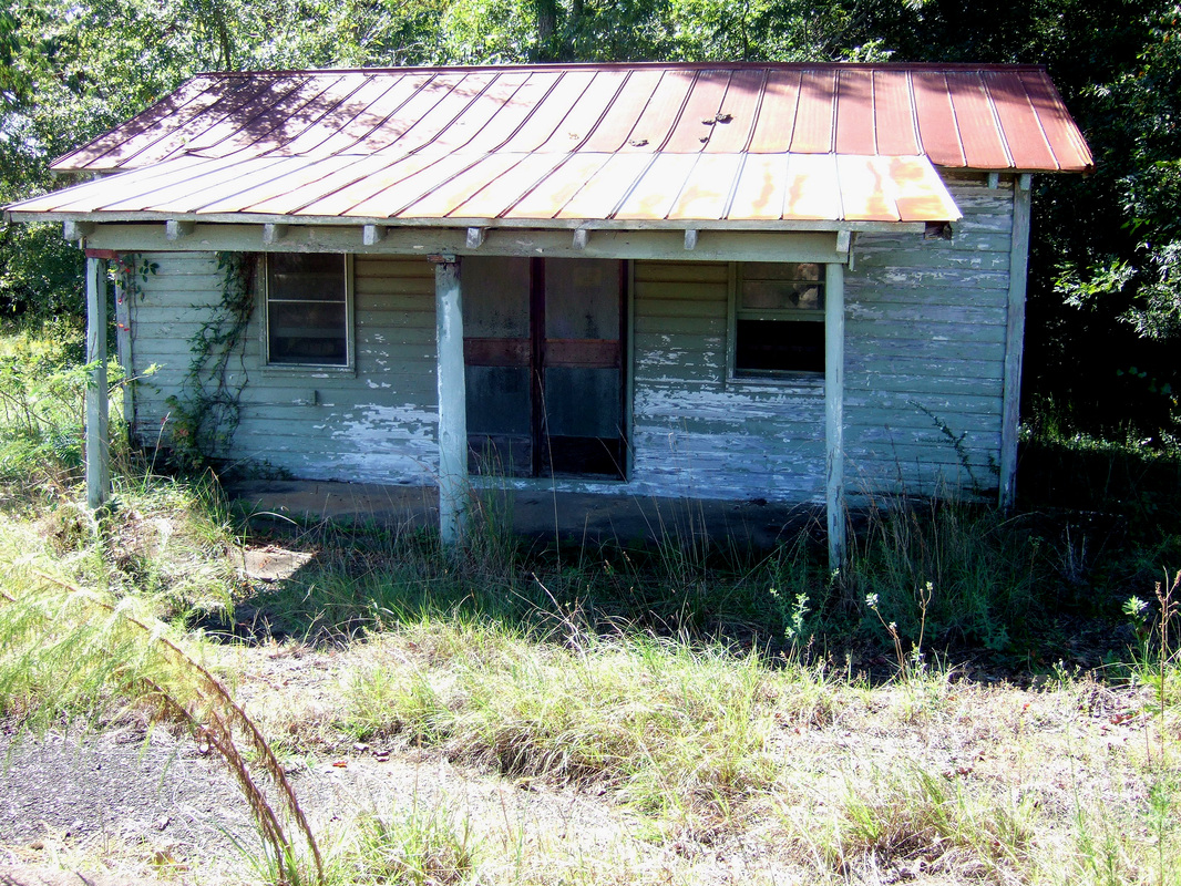
 | I've known about Woodrow for some time but didn't know his name until a few months back. He used to belong to a couple who lived in a brick house facing across what used to be the main road through Sawyerville to the old railroad (no longer there: even the rails are gone). After the couple had died, Woodrow continued to live in a wooden shed to the west of the brick house. When you drove by, you often could se him sitting on a bench by his front door. |
0 Comments
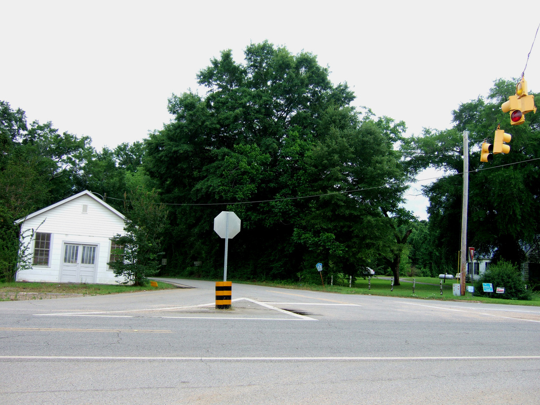
 Sawyerville's biggest annual event always takes place on the first Saturday in November. This year it was November 1. And a gorgeous fall day for it, although quite chilly with a stiff wind blowing.
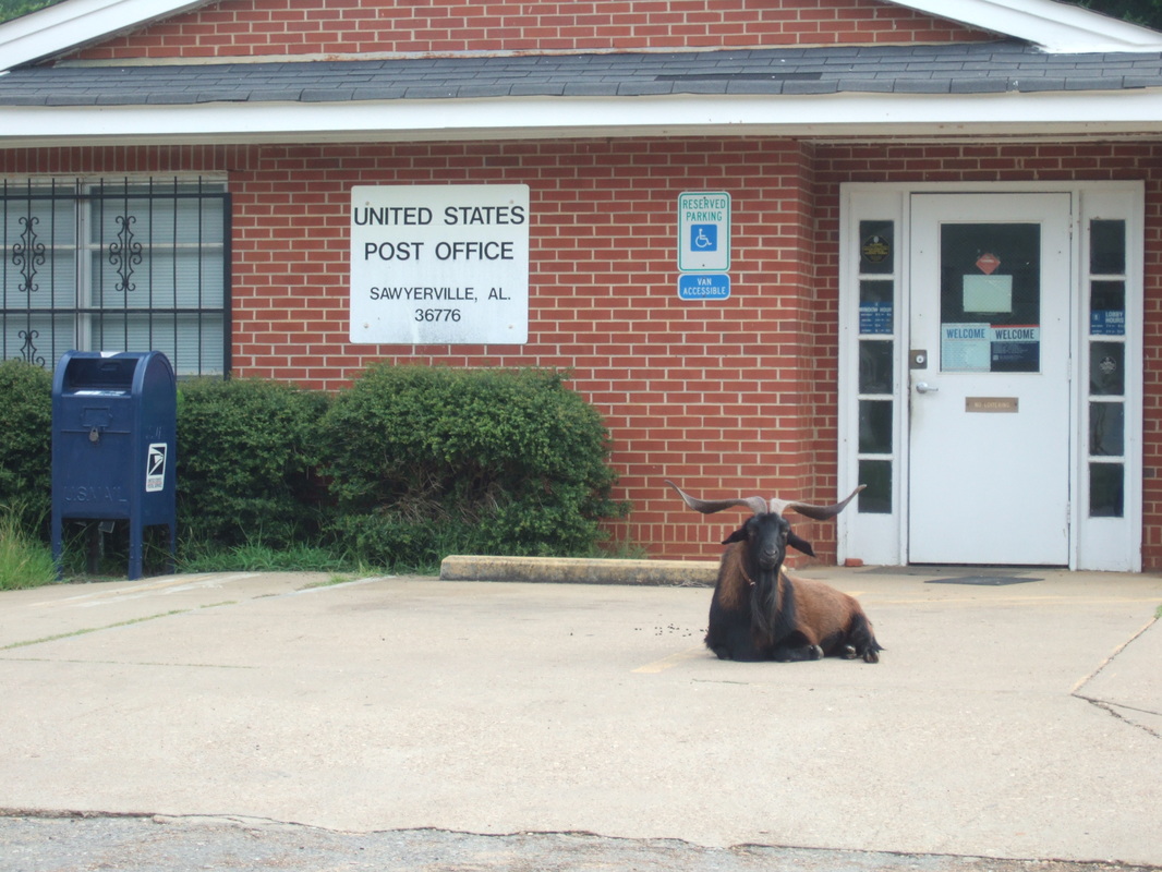
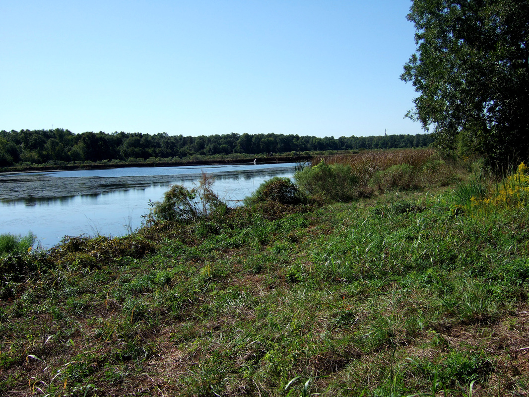 ROADSIDE ATTRACTIONS 3. Wedgeworth appears on maps. Sawyerville does not. Odd, because Sawyerville has a post office, fire house/community center, and country store. Wedgeworth? There's no there there. But it is where Highway 60 ends at Highway 14, about 5 miles west of Sawyerville. Here, a view of the Wedgeworth fish ponds. Back in, perhaps, the 1920s, a deep exploratory well was drilled. Oil? Natural gas? Could have been either. But what they got was a heck of a lot of water filled with minerals of various kinds. Undrinkable. At least unpalatable. But with all that free water roaring up from the ground, somebody (I assume one of the Wedgeworths, but I'm not certain) had the bright idea of setting up a swimming pool and dance hall. My mother could recall swimming there, and she reported that the water would stain your bathing suit strange colors. My father, who played the piano, would fill in from time to time when the dance hall band needed a pianist. My parents both had fond memories of the place. Actually my mother had moved to Wedgeworth with her parents and one brother and the family furniture plus a milk cow in a box car on a train all the way from Monroeville, Alabama, when she was just a little girl. My grandfather had obtained a job on the Wedgeworth farm. A few years later the family moved to Greensboro, and Grandpapa became a well-digger.
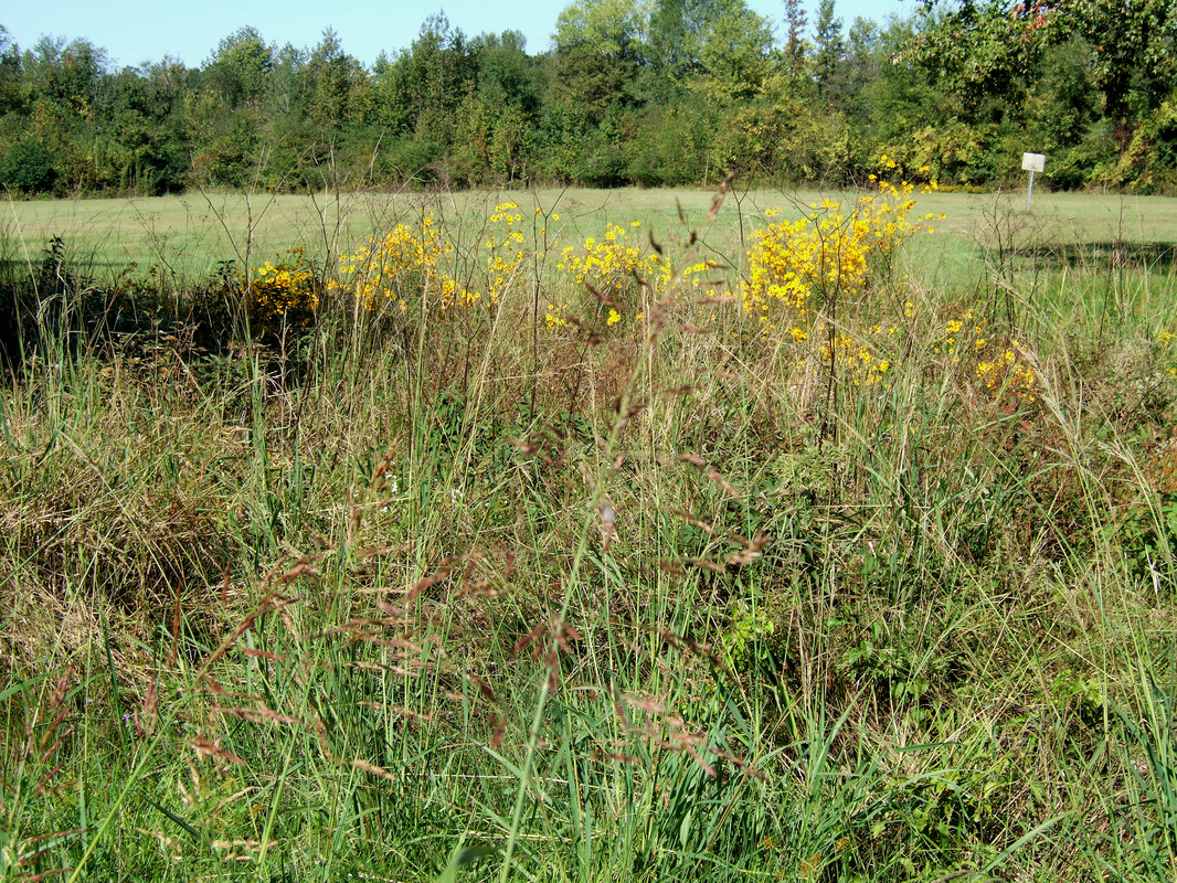
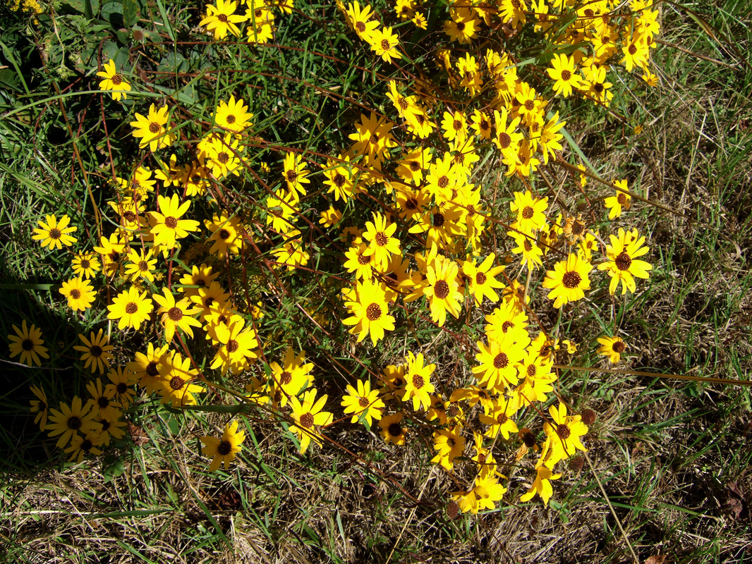
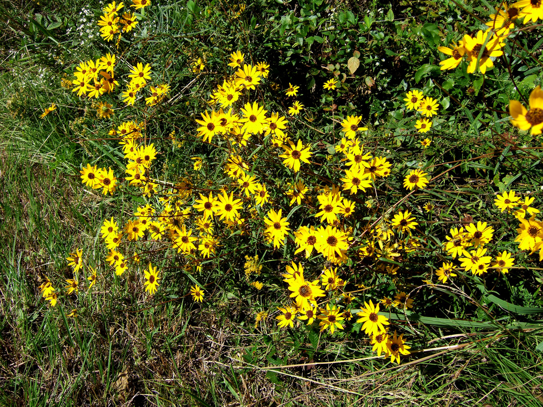
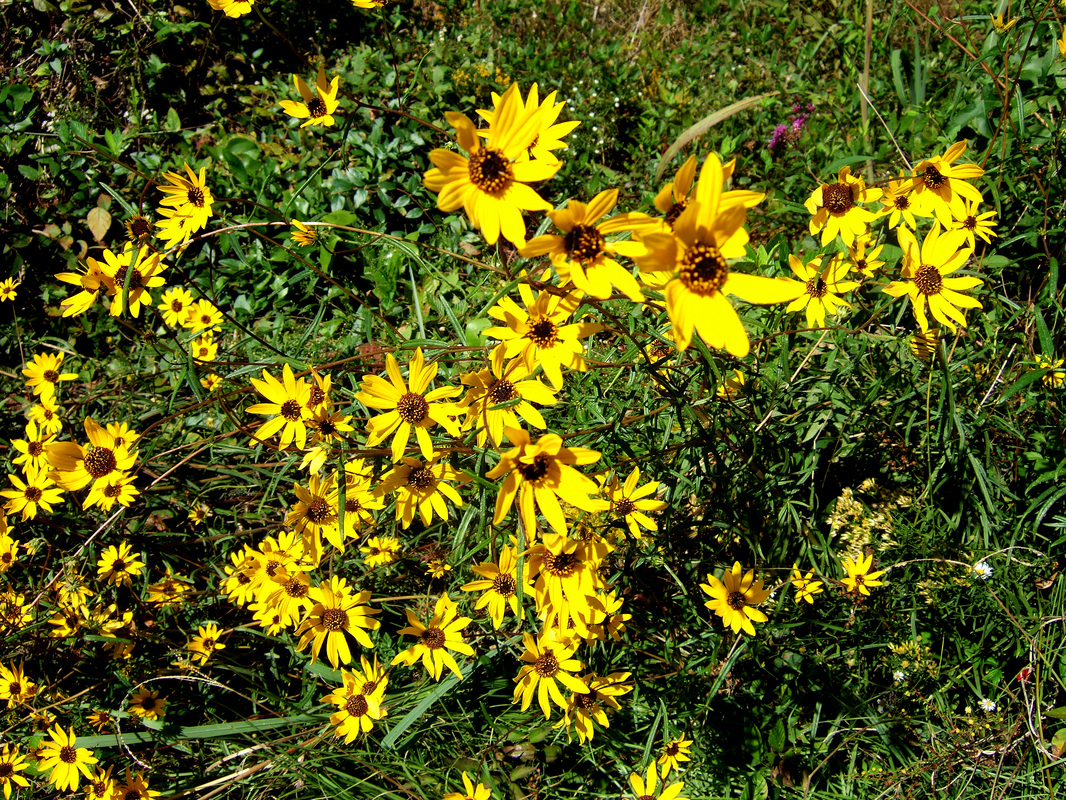
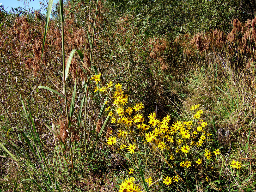
Along the ditch that runs left from the driveway is a lovely patch of the yellow flowers that are abundant along Alabama roadways in the fall. They are called thread leaf coreopsis, or sometimes pot-of-gold. Every year I intend to try to gather some seeds to spread in my wildflower garden so that I can have them I view of my office. Every year I fail to do so. Maybe this year. (Be sure to click on them to enlarge them so you can enjoy them more.)
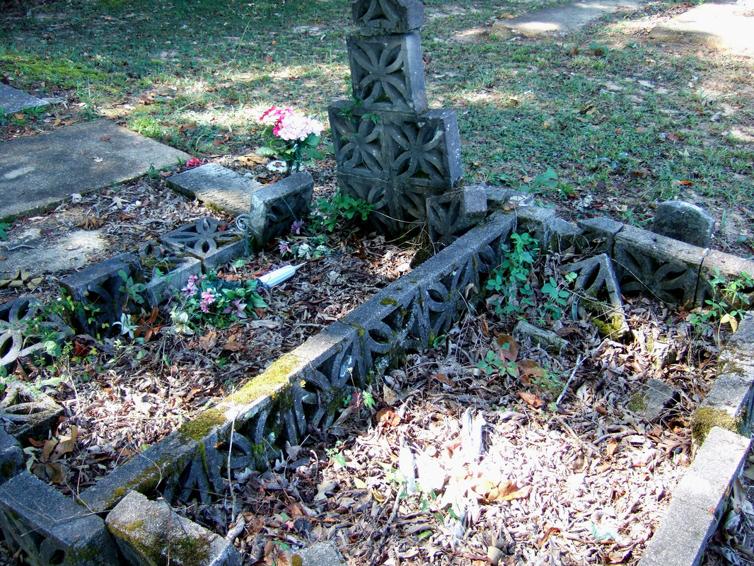
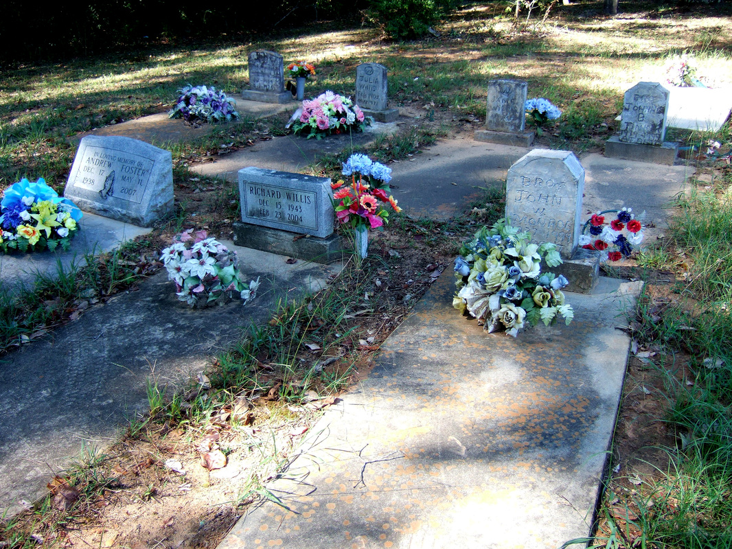
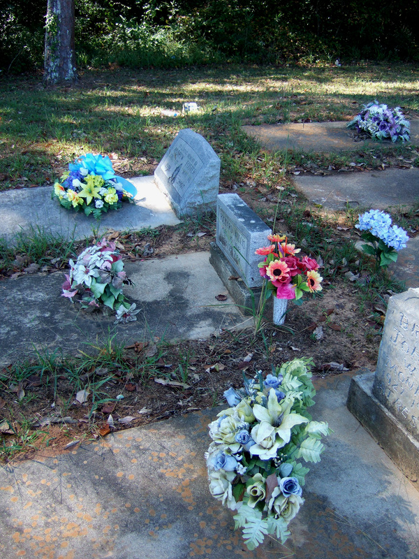 Just to the right, and right beside the highway, is this old cemetery. Beyond it is a concrete block structure that was, most likely, once a church, now abandoned. There have been no new burials in this cemetery in the years I have been back in Alabama. But somebody cares for it. It is neat and clean, and there are always fresh plastic flowers on most of the graves. A family member? A nearby resident who cares? I don't know. I find it oddly charming.
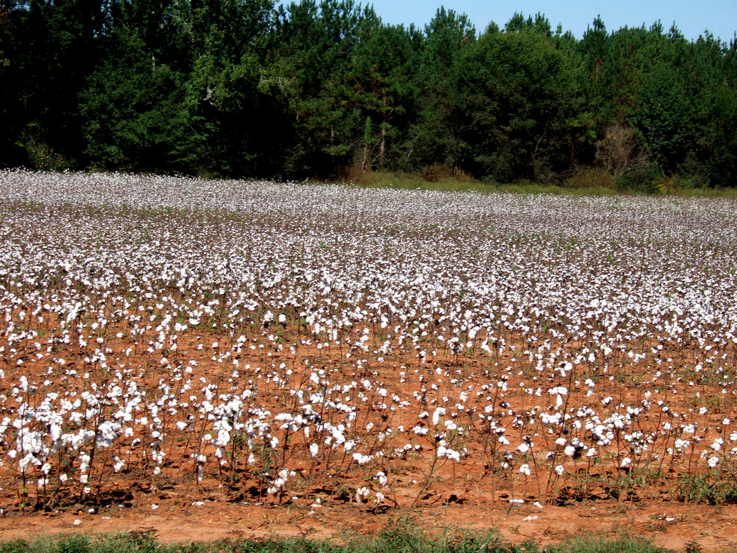 Here's a sight once common in the South. Not so much now. This cotton field is a mile or so back from where Highway 60 ends at the Y intersection with Highway 69 at Havana Junction. Highway 60 is useful to me: almost every time I go to Tuscaloosa (at least once a week) I travel its 12 miles. I can remember it as a dirt road back in the days before most of the state highways were paved. Yes, that dates me. 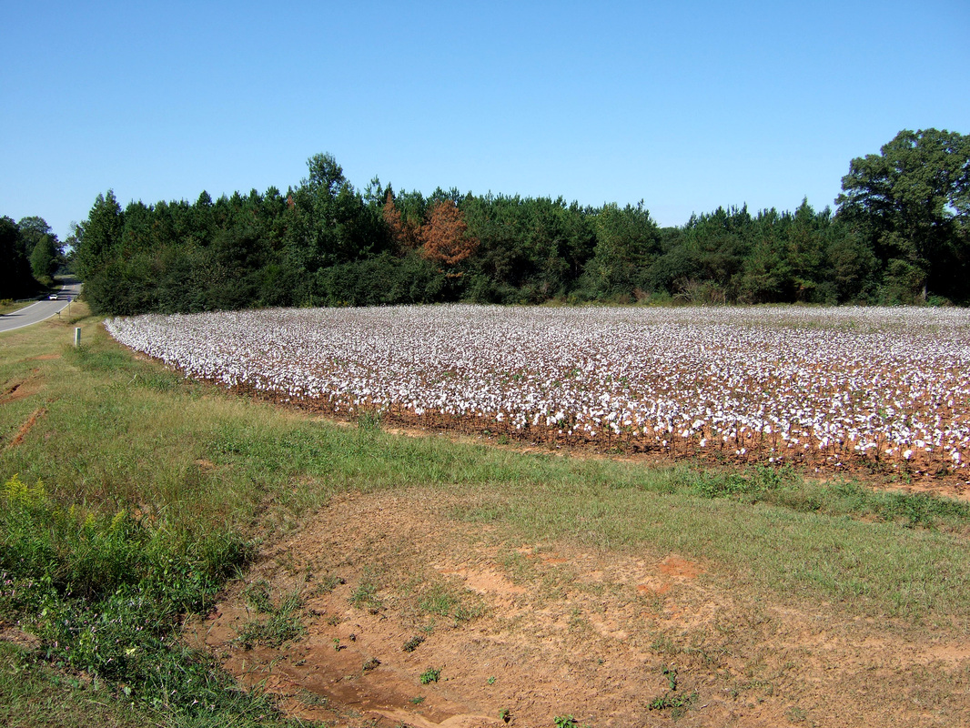 My first job (other than clerking in my father's store, which doesn't really count) was measuring cotton acreage the summer after I finished high school. I had scaled pictorial maps, I'd locate a field, and using a long measuring tape I'd plot the actual cotton field on the map. At the end of the day I'd turn in the maps, and girls (they all were) in the office would the next day run planimeters over the plotted acreage to verify that the farmer had not planted more than his allotment. Do you know what those things are? This will tell you probably more than you really need to know: http://en.wikipedia.org/wiki/Planimeter
Now some farmers weren't too happy about this. Government interference with private business, they thought. One did approach a house with some caution! I wonder if perchance this particular field is as much hobby as investment. Once, of course, cotton was at the heart of the Southern, and to some extent, national and even international economy. As was the institution that supported it: http://www.nytimes.com/2014/10/04/books/the-half-has-never-been-told-follows-the-money-of-slavery.html?ref=arts (If you follow that link, do note caption on the photograph.)
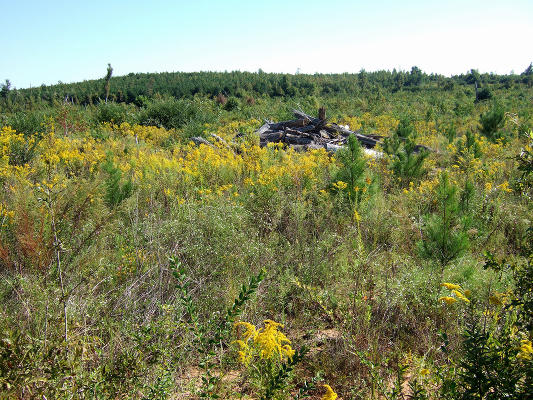
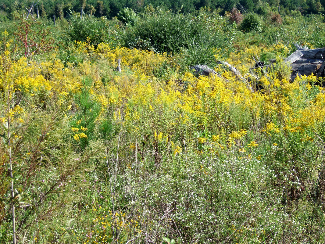
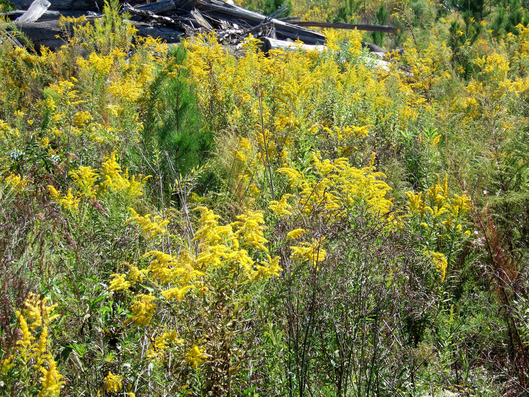
The location: Highway 14, about a half mile west of downtown Sawyerville. The field behind had been filled with pine trees that were devastated by the storm. Subsequently and quickly the downed trees were harvested for paper wood. Now the area is filled with goldenrod and the occasional pile of scrap wood. About a half mile further west you come to Hollow Square Cemetery (see under PLACES above). It suffered only minor damage, mainly one big tree limb torn down. Two other citizens of Sawyerville died about 3 miles northeast and 2 more residents of the county east of Highway 69, several miles north of Greensboro. Many houses were destroyed and woodlands devastated along the path of the tornado through the county.
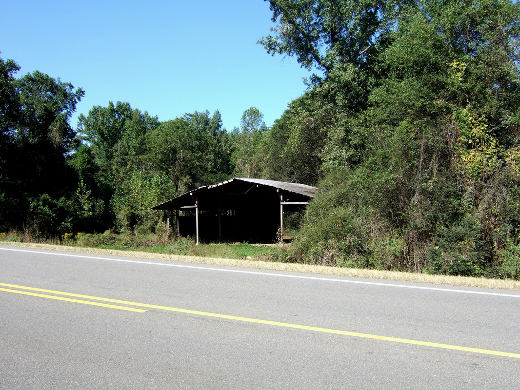
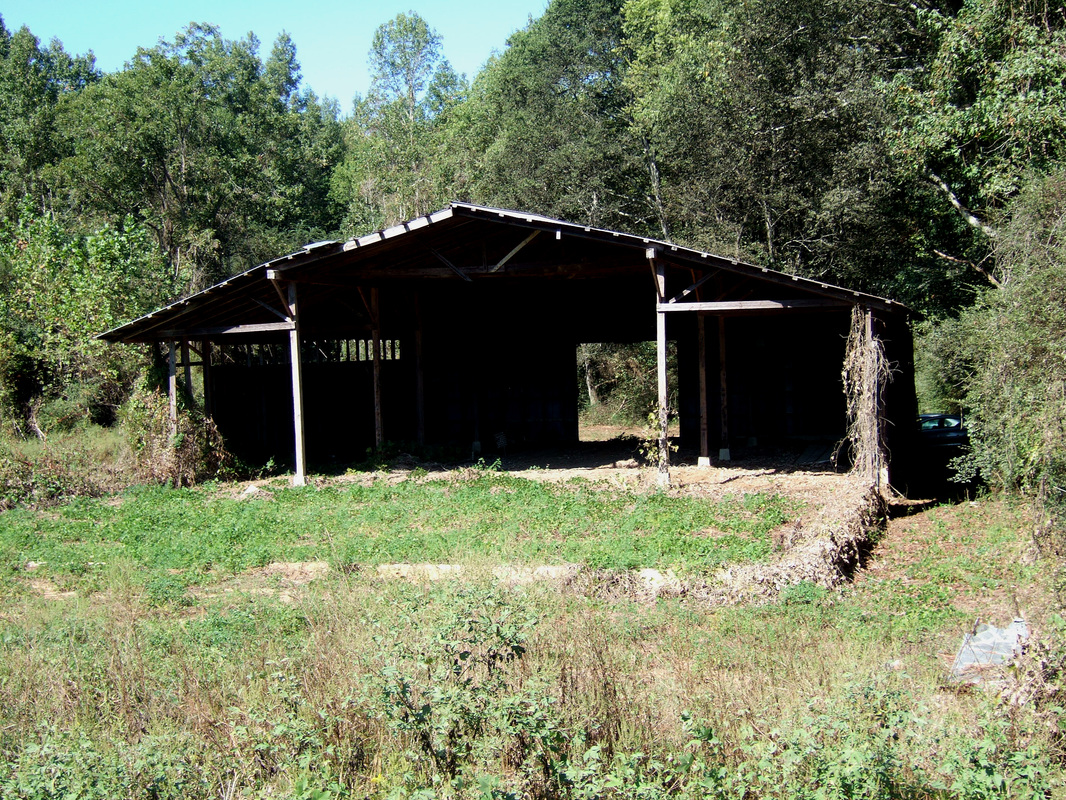
Rule 3: Anything goes as far as subject matter is concerned: buildings, flowers, weeds, animals barnyard or otherwise, as long as I first see it from the car. Rule 4: it must be in Hale County, Alabama.
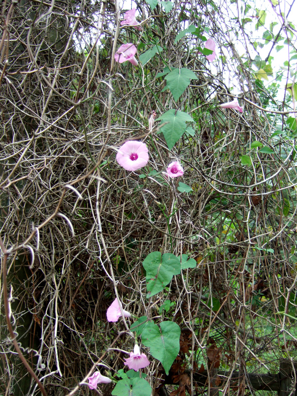
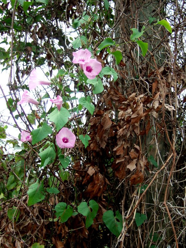
I'll lead off with the shots above of morning glory vines hanging off dead vines and tree near downtown Sawyerville. It's an experiment, sort of. My regular website, Hollow Square Press, is giving me problems. I thought I'd set this one up to see what happens. 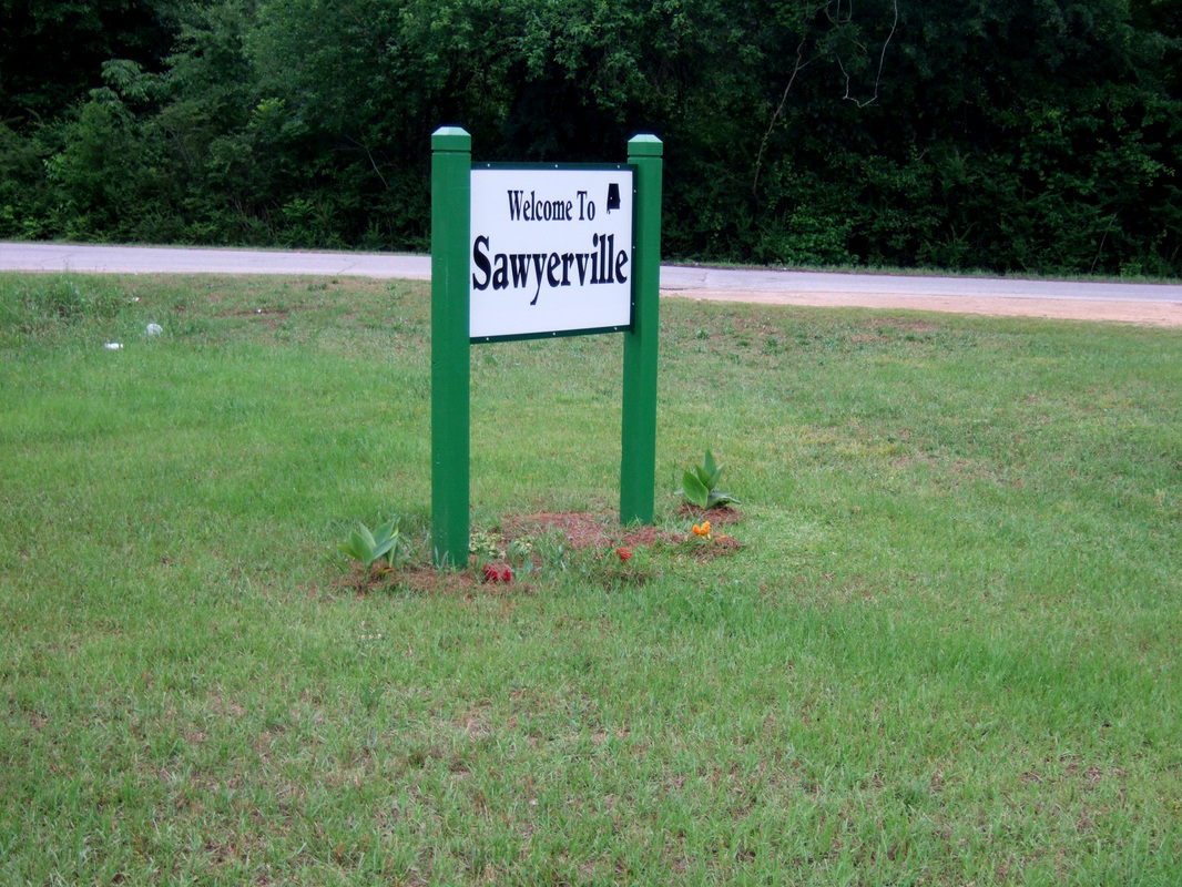 Sawyerville is where I live. It is a fairly unprepossessing little hamlet on Highway 14 between Greensboro and Eutaw in West Central Alabama. Except for some 27 years living in New York City, this has been home. I still live in the house where I spent my childhood.
| AuthorJonathan's life is convered sufficiently on his website Hollow Square Press. The reason for this separate blog appears in the earliest post. Then, once it was up and running he decided to continue it! ArchivesCategories
|

 RSS Feed